

S17 - Geospatial Dataset Fusion and 3D Model Reconstruction: Advancing Understanding of Volcanic Environments through Computer Vision
Luca Fallati, Università degli Studi di Milano-Bicocca, Questo indirizzo email è protetto dagli spambots. È necessario abilitare JavaScript per vederlo.
Danilo Reitano*, INGV – Osservatorio Etneo, Questo indirizzo email è protetto dagli spambots. È necessario abilitare JavaScript per vederlo.
Alessandra Savini, Università degli Studi di Milano-Bicocca, Questo indirizzo email è protetto dagli spambots. È necessario abilitare JavaScript per vederlo.
(* corresponding)
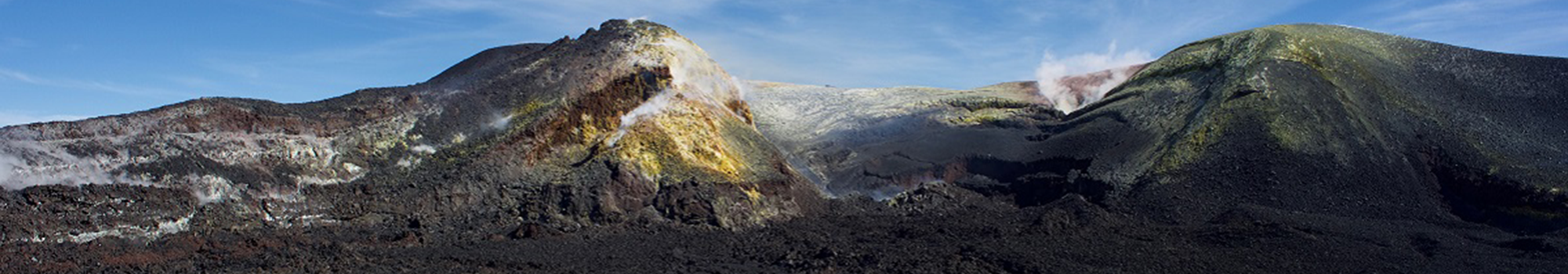
Recent advancements in remote sensing technology have revolutionized our ability to study and visualize volcanic activity, both on land and beneath the ocean's surface. Underwater acoustic and aerial remote sensing techniques, combined with visual data acquired by Remotely Operated Vehicles (ROVs) and Aerial Unscrewed Vehicles (AUVs), allow researchers to now bridge the gap between terrestrial and marine environments, collecting meaningful geospatial data in onshore, nearshore and offshore settings. In addition, the central role of advanced digital processing techniques and the new progress in computer vision enable researchers to generate unprecedented photorealistic 3D models of volcanic landscapes and explore them in an immersive virtual environment. These models serve as invaluable tools for understanding volcanic behavior and its impact on surrounding environments, as well as unique opportunities for analysis and interpretation.